
Current River
Just as the Current and Jacks Fork Rivers rise from many sources to connect and become such extraordinary streams, we too, are all a part of a river of humanity, equally connected to our own ancestral sources. Perhaps that is one of the many reasons why the timeless rhythm of moving water so touches us, just as surely now, as it must have touched the hearts and souls of our ascendants, and the Native Americans before them who first roamed the hills and valleys of the Ozark Plateau. They most certainly experienced the same feelings of peaceful joy, awed exhilaration, innate excitement and natural connectivity that the experience of this river may arouse in you.
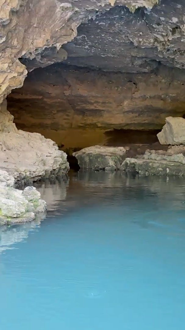
The Current and Jacks Fork Rivers are much the same now as when our ancestors first saw them; unspoiled, wild, beautiful, inspiring, alive and alluring. Seven crisp, cool springs bubble and rise from the earth to form the Current Rivers' source, three the Jacks Fork. From thence and throughout their courses numerous springs trickle, spurt, or gush forth from the land, among them is Big Spring - Missouri's largest, and one of the largest springs in the world. The bluffs, caves, springs, forest and wildlife provide a magnificent array of sights, sounds and other natural sensations that will bathe your body and soul, come immerse yourself in them - and enjoy.
The information below will provide you with all the information you could want or need to know about the Current River, from photo tours to videos, maps, springs, caves, bluffs, river stages, public areas, history, regulations, paddling, fishing, camping, hunting, lodging, hiking, site seeing, trailriding and more, it's all here for you! Jacks Fork River and Ozark National Scenic Riverways Park information sections also follow below.
20 Mile Float of the Current River
Current River — Description and Info
Maps
Caves
Bluffs
River Stages
Regulations
Wildlife & Trails
History
Links
Photo Tour — Montauk to Big Spring
The Jacks Fork
The Jacks Fork is one of two rivers that are in the Ozark National Scenic Riverways Park. It starts in Texas County and flows 46.4 miles to it's confluence with the Current River near Eminence, Missouri. It is the major tributary of the Current River, the first 25 miles from the Prongs to Bay Creek is deep valley and in the springtime provides Class II water. The Jacks Fork is also the most primitive of the rivers in the region. From Alley Spring to its confluence with the Current River it is a Class I River and is floatable year around. The Jacks Fork provides pristine natural conditions many caves and natural springs.
Jacks Fork River — Description and Info
Springs
River Stages
Regulations
Wildlife
River Guide
History
Links
Public Areas
Misc. Services
Photo Tours — Prongs to Two Rivers · Alley Spring · Tours Homepage
Jacks Fork River Activities
Fishing
Lodging
Paddling
Camping
Hiking
Sight-seeing
Trailriding
To Heaven and Back on the Upper Jacks Fork! (MDC article)
Ozark National Scenic Riverways Park Info
ONSR Receives Recovery Act Funding
Regulations
Map
History
Wildlife
Photo Tour — Ozark National Scenic Riverways · Tours Homepage
Official National Park Service "Ozark National Scenic Riverways" Web Site